Mountain Center, California
Mountain Center, California is the spot for the best trails and outdoor activities. The Pacific Crest Trail, a long-distance hiking trail, is a top pick. It offers scenic views of rock formations and the San Jacinto River. The trail is challenging, but the sight of Lake Hemet, a must-visit, is rewarding. For a less strenuous hike, the Cahuilla Tewanet Vista Point provides a panoramic view of the Santa Rosa and San Jacinto Mountains. If you're up for outdoor adventures, try horseback riding at the Garner Valley Equestrian Center. Near Mountain Center, visit the Living Desert Zoo and Gardens, a unique attraction with desert animals and plants. Enjoy the best of Mountain Center's outdoors!
Top Spots in and near Mountain Center
-
Mountain Center, California
Dunn Road
15.55 mi / 994 ft gainDunn Road is an out-and-back trail where you may see beautiful wildflowers located near Palm Springs, California.Read more -
Mountain Center, California
Cactus Spring Trail
31.73 mi / 6407 ft gainCactus Spring Trail is an out-and-back trail where you may see wildflowers located near Mountain Center, California.Read more -
La Quinta, California
Hike to Lake Cahuilla
4.55.41 mi / 183 ft gainFrom Hwy. 111 take Washington (South) 3 miles to Avenue 52 (Turn Right). Take Avenue 52 a 1/2 mile to Avenida Bermudas (Turn Left). Follow Avenida Bermudas for 2 miles (becomes Calle Tecate). Cove Trailhead & Parking Lot located on the left across from Avenida Ramirez. You'll start heading ou...Read more -
La Quinta, California
Boo Hoff Trail
12.7 mi / 2323 ft gainBoo Hoff Trail is a loop trail where you may see wildflowers located near La Quinta, California.Read more -
Mountain Center, California
Lion Peak Trail
9.39 mi / 1722 ft gainLion Peak Trail is an out-and-back trail that is moderately difficult located near Mountain Center, California.Read more -
Palm Springs, California
Palm Canyon Trail
4.51.94 mi / 308 ft gainThe fifteen mile long Palm Canyon, one of the Indian Canyons, is among the most beautiful natural sites in Western North America. Its indigenous flora and fauna, expertly used by the Cahuilla people, and its abundant Washingtonia Filifera (California Fan Palm) stand in breathtaking contrast to th...Read more -
Palm Springs, California
Indian Canyon West Fork Trail
5.3 mi / 1545 ft gainIndian Canyon West Fork Trail is a strenuous out-and-back trail located near Palm Springs, California.Read more -
Palm Springs, California
Indian Potrero Loop Trail
8.67 mi / 1247 ft gainIndian Potrero Loop Trail is a strenuous loop trail located near Palm Springs, California.Read more -
Palm Springs, California
Coffman Trail from Andreas Canyon Rd
3.56 mi / 525 ft gainCoffman Trail, located in Palm Springs, California, is a popular hiking destination. The trail is approximately 3.56 miles long and is rated as moderate in difficulty. It begins at Andreas Canyon Road and winds its way up the mountainside, offering panoramic views of the surrounding desert landsc...Read more -
Palm Springs, California
Maynard Mine Trail
5.82 mi / 2487 ft gainMaynard Mine Trail is a good choice if you're looking for decent elevation gain to get the hear rate up. The trailhead is at Andreas Canyon (in the Indian Canyons). The trail has a rapid elevation gain of 2300' in the first 2.5 miles. The entire trail, out and back, is about 6 miles. The actua...Read more -
Palm Springs, California
Seven Falls via Murray Canyon Trail
4.01 mi / 587 ft gainA very scenic 4-mile round trip with a rewarding waterfall after a 2.5-mile hike/stroll. Lucky visitors may catch a glimpse of the Peninsula Big Horn Sheep (an endangered species), mule deer or other wild animals still roaming the high ground above the canyon. Less visited, Murray Canyon has its ...Read more -
Palm Springs, California
Andreas Canyon
5.01.03 mi / 154 ft gainAndreas Canyon in Indian Canyons is located very close to Palm Springs in the Agua Caliente band of Cahuilla Indians Reservation. It is one of the few places with abundant shade and running fresh water in an otherwise dry desert landscape. Enjoy a longer hike to a waterfall (Seven Falls) or stay ...Read more -
Palm Springs, California
Earl Henderson and Shannon Trail Loop
4.31 mi / 1257 ft gainThis is a short but sweet trail close to the Araby and Garstin Trails. Great views of Palm Springs and the San Jacinto Mountains. Parking area is off of Lansdale Street. From here, head down the Earl Henderson Trail and you will see where in connects with the Shannon Trail. You can choose to swit...Read more -
Mountain Center, California
Apache Peak Trail
9.4 mi / 2966 ft gainApache Peak Trail is an out-and-back trail where you may see wildflowers located near Mountain Center, California.Read more -
Palm Springs, California
Araby Trail
4.58 mi / 1545 ft gainThis hike takes you up to Bob Hope’s massive mushroom shaped house. The neighborhood also includes a house where Steve McQueen lived and the Elrod House featured in the James Bond film “Diamonds are Forever”. It’s a fairly easy hike up to Bob’s but really climbs after you pass the estate. You c...Read more -
Palm Springs, California
Murray Hill via Araby Trail
5.08.85 mi / 2844 ft gainMurray Hill is the highest point in the surrounding trail system. You can access it from Araby Trail or anyone of the others in the area. It's about 9 miles round-trip and a healthy 2,850 vertical feet gain. From the top of the Shannon Trail bear right until you reach the Wildhorse Trailhead. Go...Read more
Top Activities
Camping and Lodging in Mountain Center
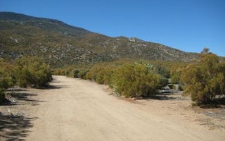
Ribbonwood Equestrian Cg
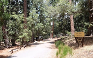
Fern Basin
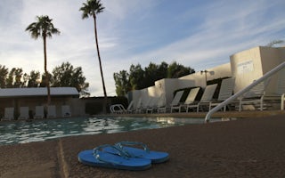
Palm Springs / Joshua Tree KOA Holiday
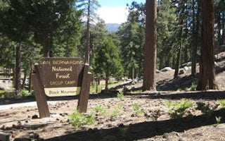
Black Mountain (San Bernardino)
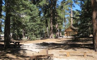
Boulder Basin
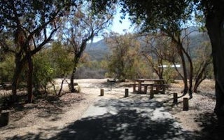
Oak Grove Campground


