Morristown, Arizona
Top Spots in and near Morristown
-
Morristown, Arizona
Hike the Wild Burro Trail
4 mi / 112 ft gainHike along the shoreline of beautiful Lake Pleasant. This 4.0 mile out-and-back trail is worth its weight in beautiful views. The path is well maintained and perfect for beginner hikers who enjoy leisurely hikes while looking for wild burros. The Wild Burro trail starts with a small descent from ...Read more -
Morristown, Arizona
Hike the Pipeline Canyon Trail
4.84 mi / -220 ft gainStarting at a little below 2,000 feet this hike takes about two hours out and back over a two-mile stretch. There is a parking lot with bathrooms at either end.For those with small members of your hiking party and two vehicles you could easily leave a car at either end of the trail. There are als...Read more -
Morristown, Arizona
Explore Lake Pleasant, AZ
5.0Located just 30 minutes from the outskirts of Phoenix, AZ lies a 10,000 acre desert oasis known as Pleasant Lake Regional Park. This expansive body of water serves as a great opportunity to beat the heat of the central Arizona sun, while taking in the beauty of the vivid blue waters and surroundi...Read more -
Morristown, Arizona
Yavapai Point Trail
5.03.08 mi / 525 ft gainYavapai Point Trail is an out-and-back trail that takes you by a lake located near New River, Arizona.Read more -
Morristown, Arizona
Experiencing Castle Hot Springs
The grounds of this location are absolutely incredible – food is amazing, and the hot springs are magical. Each hot spring boasts its own naturally occurring hybrid mix of minerals, which vary from place to place depending on the geology of the area. For the storied history of this location and ...Read more -
Morristown, Arizona
Hiking in Hells Canyon Wilderness
Spanning 9,951 acres of backcountry a few miles northwest of Lake Pleasant and about 25 miles north of Phoenix, Hells Canyon Wilderness area offers a quick way to escape into an untamed swath of desert that’s more paradise than purgatory.I have to say, this entire trail is 36.3 miles (and is tec...Read more -
Glendale, Arizona
Deem Hills Loop
3.55 miLocated in north Phoenix, the Deem Hills recreation area features a dog park, playground, soccer field, and trailhead leading into the neighboring hills. To begin your hike, get around the dog park by starting at the Circumference trailhead on the north side of the parking lot. To complete th...Read more -
Glendale, Arizona
Arrowhead Point Loop
2.37 mi / 492 ft gainThe Arrowhead Point Loop in Arizona is a 2.4-mile trail located in Thunderbird Conservation Park near Phoenix, Arizona. This trail offers a moderately challenging route with rewarding desert views, particularly at sunrise or sunset. The loop trail features rocky terrain and mild elevation gain,...Read more -
Glendale, Arizona
Thunderbird Park 3 Peaks Loop
5.07.31 mi / 1417 ft gainThis is a great spot to go for a quick run or a short hike if you're in North Phoenix. Thunderbird park is easily accessible with free entry and a number of picnic areas. There are 3 main hills with a variety of trail options to hike up/around each. From the top you'll find a nice view of valley...Read more -
Phoenix, Arizona
Apache Wash Loop Trail
5.79 mi / 541 ft gainThis hike begins at the Apache Wash Trailhead where you will find restrooms and a covered rest area. This loop is simple to follow and offers various shortcuts along with an access to an optional summit climb. The loop begins from the north-east end of the parking lot near the restrooms. Turn l...Read more -
Cave Creek, Arizona
Hike the Go John Trail
5.05.6 mi / 804 ft gainAs you park at the trailhead, you have the option to take this trail in either direction. I recommend that you travel north, which will immediately provide 0.75 miles of elevation gain. You will then reach a pass with panoramic views of the Tonto National Forest. A bench in this area provides the...Read more -
Phoenix, Arizona
Reach 11 Trail
4.06.3 mi / 118 ft gainLocated in north Phoenix, Arizona, the Reach 11 Recreation Area offers an extensive network of trails winding through 1,500 acres of preserved desert habitat. This urban trail system provides a perfect escape for outdoor enthusiasts seeking adventure within city limits, offering a unique blend ...Read more -
Cave Creek, Arizona
Elephant Mountain Fortress Hike
5.05.5 mi / 867 ft gainThis hike beings at Spur Cross Ranch in Cave Creek, which is a lush riparian area flowing with Saguaros. Starting at the trailhead, you will start this loop by hiking clockwise on Tortuga trail which will connect with the Elephant Mountain trail at 1.5 miles. As you start to ascend the Elephant M...Read more -
Waddell, Arizona
Hike Mesquite Canyon Trail
13 mi / 1394 ft gainThis is a great place to begin your hike in the White Tank Mountains. From the Ramada Way area, the trail begins to lead steadily into a small canyon. As you get further up, the trail will begin get more steep. After a short time it leads up to the first saddle and wraps around a ridge and bec...Read more -
Phoenix, Arizona
Shaw Butte Trail
5.04.22 mi / 866 ft gainThe Shaw Butte Trail is a short loop hike that leads you to the top of Shaw Butte in the Phoenix Mountains Preserve. Beginning from the trailhead on Central Avenue, The first section of trail follows a steady uphill service road to the top. Near the top you'll find an array of towers and a good...Read more -
Waddell, Arizona
Hike to Waterfall Canyon
4.02 mi / 200 ft gainSo to fully enjoy the theme of this hike, make sure to try and go right after a rain. But also know that since this is a pretty easy hike, you will won't be the only one there. This is also a great hike/ waterfall to do with someone that is new to desert hiking, since it is relatively easy and th...Read more
Top Activities
Camping and Lodging in Morristown
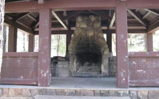
Crown King, Arizona
Turney Gulch Group
Overview
Turney Gulch is a remote, scenic location for groups of up to 100 people to rest under the stars and towering pines of Prescott ...
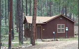
Crown King, Arizona
Horsethief Cabin
Overview
Horsethief Cabin is situated in a clearing of Ponderosa pines at an elevation of over 6,000 feet in the Bradshaw Mountains of th...
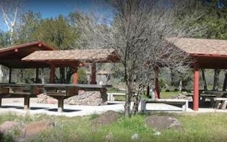
Cave Creek, Arizona
Cave Creek Group Site
Overview
Cave Creek Group Site is located 20 miles north of Cave Creek and Carefree, Arizona. It is a historic campground constructed in ...

Mayer, Arizona
Sycamore Cabin
Overview
Sycamore Cabin provides a unique recreation opportunity and lodging experience for visitors to Prescott National Forest. In 1938...
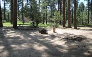
Prescott, Arizona
Upper Wolf Creek Group
Overview
Upper Wolf Creek Group Campground provides a quiet forest setting for groups of up to 100 people to camp and enjoy the outdoors....
Prescott, Arizona
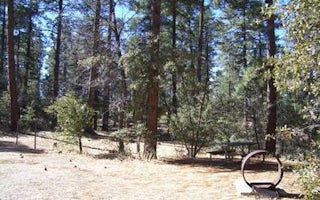
Groom Creek Horse Camp
Overview
Equestrian campers will find Groom Creek Horse Camp seven miles south of Prescott, Arizona at an elevation of 6,398 feet. The p...


