Leasburg, Missouri
Top Spots in and near Leasburg
-
Leasburg, Missouri
Hike and Float on The Ozark Trail Courtois Section
4.024.6 miStarting from the Onondaga trail head of the Ozark Trail, this 12.6 mile backpacking trip and 12 mile float can be completed in two full days, or stretched into three days if you want to take a more casual pace. There is plentiful water, and several good camping spots along the trail, and of cour...Read more -
Belleview, Missouri
Backpack the Bell Mountain Loop
4.012.1 miAn offshoot from the Ozark Trail, the Bell Mountain Loop trail offers a 12 mile loop (when starting from the HWY A trail head) that works perfectly as a beginner backpacking trip. The Ozark Trail website offers excellent maps for all sections of the trail (for free!), click here.Day 1: Hike 7.5 m...Read more -
Jadwin, Missouri
Paddle Current River via Cedar Grove
Start at Cedar Grove and canoe a 44 mile, three-day and two-night trip down one of the most beautiful, crystal clear, spring fed rivers in Missouri to what is called two rivers, where the Jacks Fork runs into the Current River. There is a great group of outfitters who can help get you set up for...Read more -
Lesterville, Missouri
Johnson Shut-Ins
4.52.29 mi / 354 ft gainThe Shut-Ins Trailhead is located located next to the River Store in the Johnson Shut-Ins State Park day use area. Simply follow the paved trail for 0.3 miles to the boardwalk and viewing deck. Here you’ll find stairs accessing the Shut-Ins. Take your time exploring the unique rock formations ...Read more -
Ironton, Missouri
Hike Mina Sauk Falls Trail
3 mi / 400 ft gainThe hike begins with a paved trail leading to a plaque marking the highest point in Missouri. Although there is no view here it is still a fun spot to take a picture. Continue back on the main trail until you reach the junction marked by the backcountry camping registration box. Turn right at th...Read more -
Westphalia, Missouri
Hike to the Osage River overlook at Painted Rock Conservation Area
1.8 miFrom Westphalia, MO take Highway 63 north, then Highway 133 west 7 miles to the area. The coordinates for the road that will take you to the trailhead are: 38°24'38.8"N 92°05'56.1"W. The trail is a 1.8 mile loop, so you can start either direction. The lands of Painted Rock Conservation Area show...Read more
Camping and Lodging in Leasburg
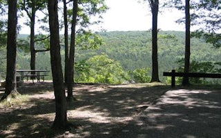
Davisville, Missouri
Red Bluff Campground
Overview
Red Bluff Campground is named for towering red bluffs along Huzzah Creek, carved by the elements over the past 10,000 years. The...
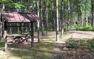
Belleview, Missouri
Council Bluff Recreation Area
Overview
The Council Bluff Recreation Area is perfect for anyone looking to enjoy the outdoors. The Wild Boar Campground and sheltered pi...
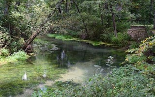
Newburg, Missouri
Lane Spring Recreation Area
Overview
Lane Spring Recreation Area provides a peaceful setting along Little Piney Creek and a scenic patio overlooking beautiful Lane S...
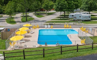
Eureka, Missouri
St. Louis West / Historic Route 66 KOA Holiday
Enjoy picturesque camping as it was meant to be - with lots of trees, a babbling creek, fireflies, a campfire under a starlit sky and all...
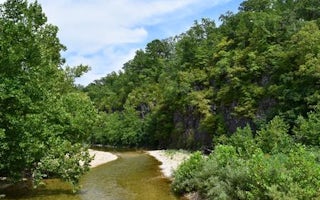
Centerville, Missouri
Sutton Bluff Recreation Area
Overview
Roomy campsites surrounded by open lawn and natural shading, cool breezes, abundant songbirds and scenic views all await visitor...
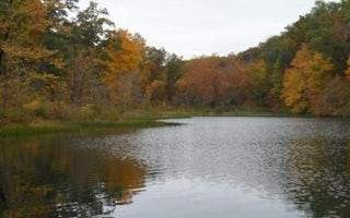
Bunker, Missouri
Loggers Lake Campground
Overview
Located deep in the interior forests of Shannon County, Logger's Lake Campground is situated along the southeast shore of Logger...


