Kern County, California
Kern County, California offers a variety of activities and attractions for everyone. From hikes and trails to adventure activities, there is something for everyone. Among the must-visit attractions in the area are the Sequoia National Forest, Lake Isabella, and the Kern River. For those looking for an outdoor adventure, the Kern River offers whitewater rafting, kayaking, and tubing. For a more relaxed experience, there are plenty of trails and parks to explore. Whether you are a nature lover or just looking for a great day outdoors, Kern County has something for everyone.
Top Spots in and near Kern County
-
Bakersfield, California
Hike the Mill Creek Trail to Breckenridge Road
7.5 mi / 3000 ft gainStarting at about 2000 elevation this hike is very gentle and nice for the first 2 miles. On the third mile it is a steep climb with short lengths of level ground the rest of the way. The junction at Breckenridge Road is at about 5500 elevation. If you hit the trail in the winter, there are some ...Read more -
Bakersfield, California
Oak Flat Lookout
4.0/ 80 ft gainSpend a few nights under the stars in a unique piece of outdoor history. The Oak Flat Lookout, constructed in 1934, was once staffed by rangers providing critical wild life management services on watch for wildfires in the surrounding Sequoia National Forest through the 1980s. The Oak Flat lookou...Read more -
Lake Hughes, California
Hike the Pacific Crest Trail from Horse Trail to Bear Campground
11.63 mi / 2396 ft gainThis is part of the Pacific Crest Trail. If you're through-hiking or sectional hiking, you'll have to hit it eventually. Try and avoid it in the late summer or early fall because of heat, and gnats. Find a way to check the bug report, we got marauded by gnats 90% of the way (early October) and ap...Read more -
Kern County, California
Remington Ridge Trail
11.45 mi / 3927 ft gainTo get to the trailhead, take Highway 178 and turn onto Borel Road, then turn onto Kern Canyon Road and follow the road. It might be easiest to put the Hot Springs into Google Maps and use that to navigate you to the parking lot. Park in the lot and walk across the road, where you'll see a sign l...Read more -
Kern County, California
Remington Hot Springs
2.00.27 mi / 36 ft gain...One thing about hot springs is that no matter where it may be, they always bring an attraction of people. I can honestly say I don't think I've ever been to a hot spring that didn't gather more then 20+ people in a single sitting. I mean, in all seriousness aside, what's not to like about a ba...Read more -
Lancaster, California
Antelope Valley Poppy Reserve
5.02 mi / 900 ft gainIf you're going during wildflower season, start your adventure at the visitors center at the end of 150th St. W. Parking in the lot outside the visitors center is $10, but there is ample street parking that is free. In the visitors center you can read more about the reserve, plan your hike, and s...Read more -
Bakersfield, California
Hike the San Emigdio Trail in the Wind Wolves Preserve
4.05 mi / 200 ft gainThis area is a family friendly hiking area for beginners. The farthest place to hike on the map is call Reflection Pond and is about a 7 mile hike out and back. The main trail called San Emigdio Trail runs right next to a stream the whole time. It is a really nice area for a day hike to find some...Read more -
Cantil, California
Hike Nightmare Gulch
10 mi / 1200 ft gainHeading north on highway 14, pass the turnoff for Ricardo campground on your left and take the second turn-off on the right, immediately past the large rock outcropping. Park and walk a few feet up the obvious trail and you should see a sign for Scenic Canyon to the right. Follow that trail acros...Read more -
Kern County, California
Camp Under Red Rock Canyon
Red Rock Canyon is a must stop for those driving along Highway 14 between the Owens and Antelope Valleys. The park is located where the southernmost tip of the Sierra Nevada converge with the El Paso Range and features scenic desert cliffs, buttes, and spectacular rock formations. Each tributary ...Read more -
Castaic, California
Hiking the Piru Creek Gorge Trail
Take the I-5 exit North of Castaic, CA at Templin Hwy. Turn onto Golden State Hwy heading the only direction it goes from the exit, North. When it dead-ends in a few miles at the National Forest Gate, you are at Frenchman's Flat.You can camp here, or hang with the day hikers. Heading North along ...Read more -
Frazier Park, California
Hike to Conder Observatory (Mt. Piños) from the Nordic Ski Hut
3.32 mi / 457 ft gainAny drive up the I-405N or I-5N is going to result in some pain: Either you leave early enough to avoid traffic, or you are sitting in some slowness for a while. But once you turn onto Frazier Mountain Road from the interstate, you are in a completely different world. It could be 85° in Los Angel...Read more -
Santa Clarita, California
Hike to Saint Francis Dam Disaster National Monument
3.2 mi / 153 ft gainThe Saint Francis Dam Disaster National Monument, established in 2019, memorializes the site where the Saint Francis Dam, built by famed engineer William Mulholland, collapsed in 1929, tragically killing more than 400 people in the middle of the night as a 150+ foot wave of water crashed through ...Read more -
Palmdale, California
California Aqueduct Trail
7.67 mi / 213 ft gainCalifornia Aqueduct Trail is an out-and-back trail that takes you past scenic surroundings located near Palmdale, California.Read more -
Kern County, California
Off-Road to McIver's Cabin
5.0A little over 2 hours north of LA on Highway 14, there is an abrupt turnoff for Horse Canyon Road, which is also SC65. Just a few hundred meters off the 14 there is a large map which you continue straight by and follow SC65 for about 7 miles, along relatively flat dirt roads. The trail does bec...Read more -
Kernville, California
Hike up Powers Peak in Kernville
10 mi / 3200 ft gainHigh Level Details: ~10 Miles Round Trip~3,200 feet total elevation gain for tripTrailhead elevation: 2,811 feetHighest Point on the trail: Powers Peak, 5,778 feetEstimated Time to complete: 4-5 hoursNo water source along the way, so bring plenty of water Dog friendly? Yes! We love bringing Linco...Read more -
Castaic, California
Paddle Castaic Lake State Recreational Area
6 miCastaic Lake is a man made reservoir located 41 miles north of downtown Los Angeles, CA in the town of Castaic. Made up of two bodies of water, separated by a 425-foot dam, Upper and Lower Castaic Lakes have a combined 29 miles of shoreline forming the Castaic Lake State Recreational Area. The s...Read more
Top Activities
Camping and Lodging in Kern County
Kern Canyon Road
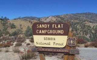
Sandy Flat
Overview
Sandy Flat Campground is set back from the Lower Kern River at an altitude of 2,300 feet near the town of Lake Isabella. Campsit...
Lake Isabella, California
Pioneer Point
Overview
Reservations not being accepted. Pioneer Point is a high-desert campground near Lake Isabella in the Sequoia National Forest. Th...
Lake Isabella, California
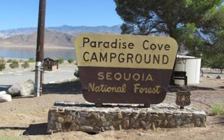
Paradise Cove
Overview
Paradise Cove Campground sits near Lake Isabella in the beautiful Sequoia National Forest. The 11,000-acre lake marks the divisi...
Lake Isabella, California
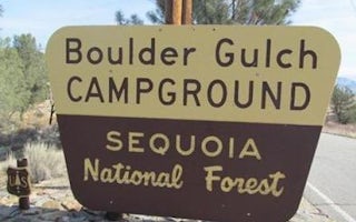
Boulder Gulch
Overview
Boulder Gulch Campground is nestled in the foothills of the high desert at an elevation of 2,650 feet, just a short drive from L...
Lake Isabella, California
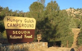
Hungry Gulch
Overview
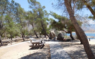
Hungry Gulch Campground sits 3 miles from Lake Isabella in the Sequoia National Forest of California. Visitors enjoy swimming, w...
Lake Isabella, California
French Gulch
Overview
French Gulch Campground sits 3 miles from the western shores of Lake Isabella, a 27-acre reservoir off the Kern River, in the ex...


